Hikes & Trails - Humboldt Redwoods SP
- Address: Humboldt Redwoods Interpretive, H.R.S.P. Visitor Center
- Phillipsville, CA 95559
- Phone: (707) 946-2263
- Visit Website
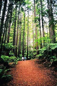
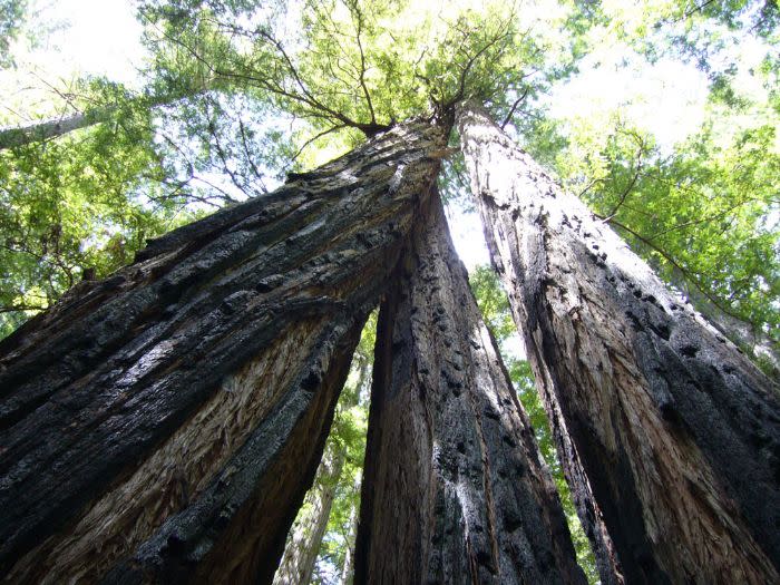
Humboldt Redwoods State Park has over 100 miles of trails, offering something for every age and ability. Trails can be accessed throughout the park. The following hikes are all located by mile marker signs (those little vertical white signs with numbers that you see all along the roadside).
We begin at the southern end of the Avenue, near the freeway access at Phillipsville. The best easy trail right off the road is at Founders Grove. M.2.27: Franklin Grove--A short, level trail leads to the grove and its pretty picnic area. The grove is the southernmost redwood grove in Humboldt Redwoods State Park. No roadsigns mark the grove, but it's hard to miss; just look for a big, circular dirt parking lot off the Avenue of the Giants just north of Philipsville. There's a grassy area with a picnic bench and some port-a-potties, and a small post marks the trailhead. Google Map
M.10.5: Bolling Grove--This is the first memorial grove aquired for Humboldt Redwoods State Park! Enjoy strolling by Elk Creek. Google Map
M.11.7: Hidden Springs Campground--There's a 1 3/4 mile trail from the campground west to Williams Grove, as well as a short trail to Hidden Springs beach on the Eel River. Google Map
M.13.5: Williams Grove--Approach the grove from the other direction and enjoy picnic tables and restrooms. In summer, cross the seasonal bridge to connect with the 2 3/8 mile Children's Forest Loop Trail.
M.14.73: Garden Club of America Grove--Follow the short road west to the parking area. Cross the summer bridge to connect with the spectacular Canoe Creek trail. Google Map.
M.15.0: William Kent Grove--A short, easy loop trail on the west side.
M.16.5: Visitor Center Humboldt Redwoods State Park Interpretive & Visitor Center 17119 Avenue of the Giants, Weott 707-946-2263. Several trails depart from park headquarters and adjacent Burlington Campground. The Burlington Beach Trail (between campsites 24 & 25) follows Robinson Creek for 1/4 miles to the Eel River. Branching left off this trail is the Gould Grove Nature Trail, a 5/8-mile self-guided loop.
M.18.4: Marin Garden Club Grove--On the west side of the Avenue, a gravel trail leads to the grove and to a hike/bike campground. Google Map.
M.19.6: California Federation of Women's Clubs Grove--A short trail to a picnic area. There's a seasonal summer bridge crossing to Lower Bull Creek Flats. Google Map.
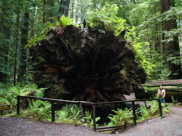
M.20.5: Founder's Grove Nature Trail--(Accessible) Follow the access road a short way to the parking lot (picnic tables, restrooms). The smooth and level nature trails leave from the parking lot, and in a 1/2 mile loop takes in the Founder's Tree, the fallen Dyerville Giant and many other wonders. Google Map
Whiskey Prairie - Directions: Drive to mile 6.2 of Mattole Road. Turn south onto the access road for Baxter Environmental Camp. Drive a few feet and park off the road before you reach a locked gate. The hike is on the Baxter Trail. Moderate.
Bull Creek Flats: Moderate Your trailhead is at Grasshopper Road, just 250 feet south of Mattole Road. Head east beneath redwoods to ten feet in diameter. The trail meanders the flood plain along Bull Creek; sections may be wet or muddy after rains. Google Map.
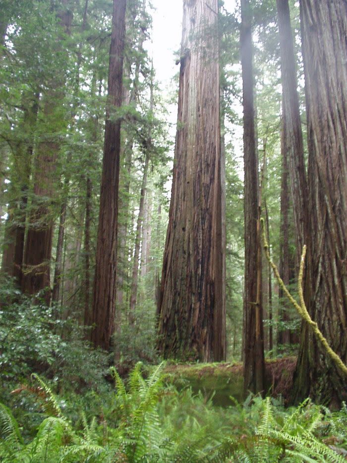
M.20.8: This is where the Mattole Road branches off and accesses the vast interior of Humboldt Redwoods State Park, continuing on to the Lost Coast and eventually reaching Ferndale. While not actually on the Avenue of the Giants, we mention this route because of the incredible Rockefeller Forest, a short ways up the road and probably the most sublime redwood grove in the world.
Rockefeller Loop: This 0.7 mile loop trail is at the foot of the majestic 7,000 acre Rockefeller Forest, traveling near where Bull Creek meets the South Fork Eel River. Trees soaring to immense heights combined with a relatively open under story combine to create a fairy-book forest. To reach the grove, drive west on Mattole Road from its start at the Avenue of the Giants, just north of the Founders' Grove. Keep a close watch for a small sign that says "Rockefeller Forest / Lower Bull Creek Flats" next to a single-lane paved road that descends the embankment to your left. Because the road descends so steeply into the dark forest it can be hard to see. Park on the loop at the end of the short road. Google Map.
Addie Johnson's Grave: The little-used Addie Johnson Trail starts near the Big Tree Area in Upper Bull Creek Flats. The trail quickly leaves the big-tree lowlands and ascends through bright redwood uplands, then leaves the redwoods altogether just before reaching a nineteenth-century gravesite. Google Map.
M.22.12: Five Allens' Trail--Starting on the west side of the Avenue, this 2 1/4 mile round trip trail tunnels under the freeway and climbs steeply into the hills. Come in September to pick huckleberries. Google Map.
M.43.6: Greig-French-Bell Loop Trail--A 1/2 mile trail leading to memorial redwood groves and the Girdled Tree. It's most remarkable for its incredibly thick and dense groundcover of redwood sorrel. Google Map.
M.43.8: Drury Chaney Groves Loop Trail - Drive to mile 28.8 heading North on Avenue of the Giants, or 2.7 South of Pepperwood. The trailhead is on the western side of the road. It is a 2 1/4 mile round trip trail through old-growth redwoods. Google Map.

