Maps of Trails and Parks in Humboldt County
- Address: .
- Eureka, CA 95501
- Phone: (707) 443-5097
- Email: admin@visitredwoods.com
HUMBOLDT BAY MAP: an excellent overview of the whole bay area - includes parks, beaches, trails, boat launch, wildlife viewing, road access and more. One of the best maps of the Humboldt Bay area published by Friends of the Dunes. Find out about their guided walks.
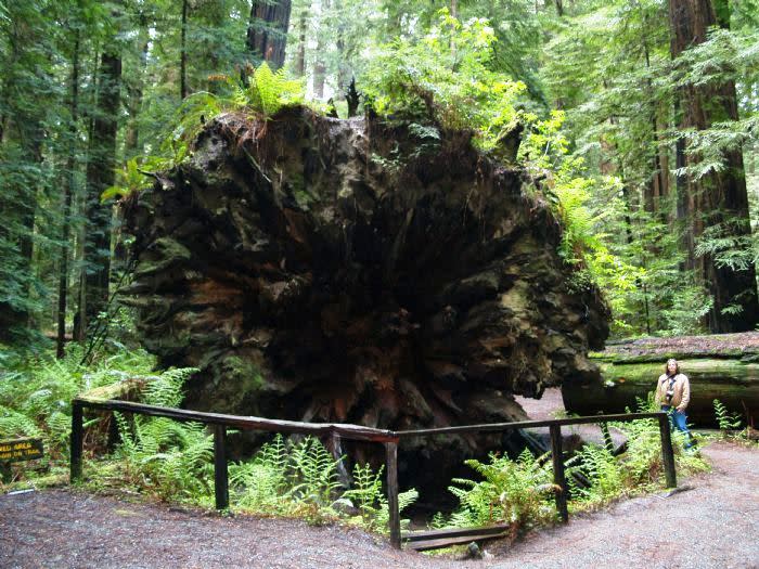
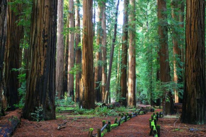
Humboldt Redwoods State Park: Located in the southern portion of Humboldt County beginning just north of Garberville and south of Fortuna, this map indicates many of the grove and campground trails in this park system. Suggested Hikes and Groves
Sue-Meg State Park: Situated right on the coast north of Trinidad, Patrick's Point is a great way to spend a day or a week. Camping, Hiking and Beachcombing.
Arcata Community Forest: Arcata's Community Forest is comprised of approximately 790 acres of woodland recreation, with an exceptional network of developed trails for hiking, mountain biking and horseback riding. Trail Maps are available at the parking lots.
Redwood National and State Park:
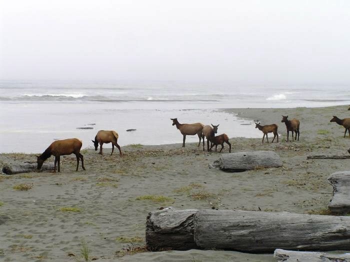
The map is an overview with trails of all of the parks within the National and State Park system. Prairie Creek is the portion located in Humboldt County and home to Fern Canyon*, Gold Bluffs Beach, tallest trees and elk herds. More info: Prairie Creek Redwoods State Park.
Suggested hikes in and around Patrick's Point and Prairie Creek Redwoods.
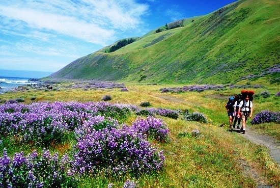
And last but not least, for a real walk on the wild side, hike the Lost Coast.
MAP OF KINGS RANGE shows access and trails within this isolated portion of California's famous wild coast.
*Due to the volume of visitors, California State Parks / National Park Service will require Day Use Permits to access to Gold Bluffs Beach and Fern Canyon. Reservations will be required May 15th to September 15th. Reservations are not required September 16th to May 14th. Visitors are still required to pay the day-use fee. Apply for a Permit: https://www.redwoodparksconservancy.org/permits/fern-canyon-permits

